
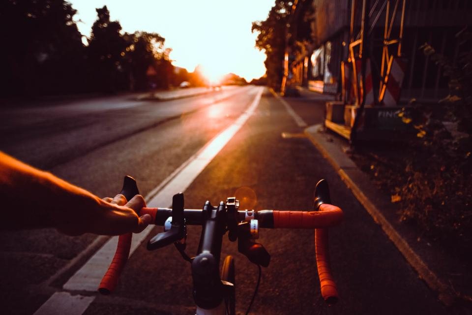
If the Tri-Cities has a signature city ride, this is it: a loop that crosses the Columbia River twice, once on the Cable Bridge and once on the Blue Bridge, with river trail between them on both banks. It is about ten miles, flat, mostly paved, and it shows off Kennewick and Pasco from the water. We ride it in both directions, at both ends of the day, and with new riders who want to learn the trail system without a car. Here is the loop as we ride it, with the wind, the coffee stops, and the bridge decks explained.
The two bridges
The Cable Bridge, officially the Ed Hendler Bridge, opened in 1978 and carries State Route 397 between downtown Kennewick and east Pasco. It was one of the first major cable-stayed bridges in the United States, and its two concrete towers and fan of cables are the skyline of the Tri-Cities. It has a path for bikes and walkers on one side, separated from traffic by a barrier, and it climbs perhaps 60 feet from either end to the middle of the span. The Blue Bridge, officially the Pioneer Memorial Bridge, opened in 1954 and carries US 395. Its steel arches are painted the blue that gives it its name. Its walkway is narrow, about four feet, with a railing on one side and a curb on the other, and it is shared two ways. We ride it slowly and single file, and we get off and walk when we meet a stroller or another bike.
The route, clockwise
Start in Kennewick near the west end of Clover Island, where there is a public lot with room for about forty cars, a restroom, and access to the Sacagawea Heritage Trail. Ride east along the Kennewick waterfront past the marina and the small lighthouse, then follow the trail signs up the ramp to the Cable Bridge. Cross north to Pasco. On the Pasco side the trail drops to the river and turns west through a mile or so of open riverbank, then into the long green strip of the Pasco waterfront parks. The trail here is wide, paved and well signed, with drinking fountains in the warm months and a few restrooms. After roughly four miles on the Pasco bank, the Blue Bridge comes into view. The ramp to the walkway is signed from the trail, and it is worth slowing down early, because the turn onto the ramp is tight and the walkway starts with a short, steep rise. Cross back to Kennewick, drop down into Columbia Park, and turn east on the Columbia Park Trail. The last three miles run along the Kennewick bank past playgrounds, the duck pond and the big cottonwoods, back to Clover Island. The total is 10 to 11 miles depending on where you start and how many detours you take, with less than 150 feet of total climbing.
Wind on the deck
Wind is the thing that turns this loop from easy to memorable. The Tri-Cities sits in a corridor where west and southwest winds pour down the Columbia, and the two bridges are the most exposed places in town. A 20 mph afternoon breeze at river level becomes a shove on the Cable Bridge deck, and gusts come through the cables in pulses. Hold your bars firmly, keep a straight line, and do not ride close to the railing. On the narrow Blue Bridge walkway a crosswind is a real reason to walk. The forecast wind at the airport is a fair guide: over 25 mph, we ride the loop counter-clockwise so the headwind lands on the more sheltered Pasco bank instead of the open Kennewick side, and over 35 mph we pick another ride. Spring is the windiest season; summer mornings are usually calm.
Coffee, water and stops
Both downtowns are a block or two from the trail, and both have coffee. In Kennewick, the historic downtown grid begins just south of the Cable Bridge landing, and you can walk the bike a block for a cup and a pastry. In Pasco, the downtown is a short ride north from the river along Fourth Avenue, and the farmers market fills the street on summer Saturdays. We do not name shops, because they change and because you should find your own, but the pattern is the same: stop early on the loop, drink water as well as coffee, and lock the bike where you can see it. Public drinking fountains are on both banks in the parks, though the cities turn them off in winter, so carry a bottle year round. Restrooms are at Clover Island, in Columbia Park and at two or three points along the Pasco waterfront, so nobody needs to plan around them.
Hazards, seasons and hours
Heat rules the calendar. From late June through early September afternoons often pass 100 F, the asphalt radiates it back, and there is little shade on the Pasco side. Ride before nine or after seven. Goatheads grow along every sunny trail edge in the region, and the bridge ramps are bad for them; run tubeless or carry a spare tube and check your tires at each stop. The loop is busy with walkers, runners, dogs and children on weekends, so ring your bell, pass on the left and slow to walking pace near playgrounds. Ice forms on the bridge decks on winter mornings before the rest of the trail, and the steel expansion joints on the Blue Bridge are slick when wet in any season; in December and January we ride after ten. Otherwise the loop is open all year, lit in the park sections, and quiet enough at sunrise that you will hear the geese before you see them.
At a glance
- Distance: 10 to 11 miles, loop.
- Elevation: under 150 feet, all of it on the bridge ramps.
- Surface: paved trail and bridge walkways; any bike works.
- Best season: April to June and September to October; summer mornings; calm winter days.
- Parking: public lots at Clover Island, in Columbia Park, and in the Pasco waterfront parks.
- Watch for: wind on the bridges, the narrow Blue Bridge walkway, goatheads, ice in winter.
The Two Bridges Loop is the ride we use to introduce people to the Tri-Cities. It is short enough to fit before work and good enough to do every week, and it puts the river, both downtowns and the bridges that hold the cities together into one hour on the bike.