
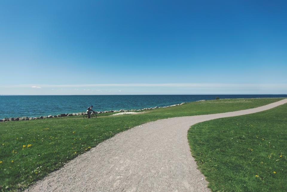
If the Tri-Cities has one ride that every local cyclist should know by heart, it is the Sacagawea Heritage Trail loop. Roughly 23 miles of paved path follow both banks of the Columbia River through Kennewick, Pasco and Richland, and two bridges close the circle, so you finish where you started without ever retracing your wheel tracks. We ride it in every season, and this is our plain-language guide: where to start, what each section looks like, where the wind will hit you and where to fill a bottle.
The Loop at a Glance
The trail is a shared-use path, separated from car traffic for nearly its whole length and shared with walkers, runners and the occasional dog on a long leash. The surface is asphalt with some concrete sections, and apart from the bridge approaches the route is flat. Most riders complete the loop in two to three hours at a relaxed pace of 10 to 12 miles per hour, including stops, and a fit rider on a road bike can do it in well under two. There is no fee and no permit. We usually start at Columbia Park in Kennewick, because it has the most parking and restrooms, but the loop can be joined at any of the riverside parks, and every Ben Franklin Transit bus carries a front rack in case you want to do half and ride the rest home on a seat.
Which way round? We ride it clockwise from Columbia Park: east along the Kennewick bank, over the Cable Bridge, west along the Pasco bank, back over the interstate bridge, and south through Richland to the start. That order saves the prettiest miles and the most water stops for the second half, when you want them. Any bike with tires of 28 mm or wider is fine; the trail is smooth enough for a road bike and easy enough for a cruiser, and a class 1 or class 2 e-bike is welcome on the whole route.
Kennewick Bank: Columbia Park to the Cable Bridge
Columbia Park stretches for about three miles along the south bank, and its section of the trail is the busiest, with picnic shelters, playgrounds, a golf course and several free parking lots. Heading downstream, meaning east, the park narrows and the trail passes under the Blue Bridge, then continues along the Kennewick waterfront past marinas and the Clover Island causeway. The Cable Bridge appears well before you reach it, with its white towers standing over the river. The trail climbs the approach ramp, the only sustained grade on the whole loop, and crosses on a separated walkway. The view from mid-span, upstream toward the Blue Bridge and downstream toward the Snake, is the one we show visitors. The walkway is exposed, so on a windy afternoon keep both hands on the bars and let faster riders pass at the ends rather than in the middle.
Pasco Side: The Snake Confluence Spur
On the Pasco side of the Cable Bridge you have a choice. The main loop turns upstream, but a spur runs about three miles east to Sacajawea State Park, where the Snake River meets the Columbia. It is worth the detour on a cool day: the park has water, restrooms, shade trees and a quiet beach, and the confluence itself is the reason the region exists. Note that the state park charges for parking, so most of us ride in rather than drive. Add 6 miles and about 40 minutes if you include the spur, which pushes the day to roughly 29 miles.
The Pasco Bank and the Upstream Crossing
Back on the loop, the Pasco bank is the quietest part of the ride. The trail runs west past the port and the levee, sometimes on top of the dike with the river on one side and open ground on the other, with a few short stretches on low-traffic streets where the path is interrupted. Shade is scarce here, and this is where the afternoon wind, which usually blows out of the southwest and up the river, is felt most. The trail passes beneath the Blue Bridge, whose walkway offers a quick return to Kennewick if you need to cut the day short, and continues to the Pasco parks near the interstate bridge. That bridge carries the trail back across the river on its own separated path, high enough to feel the gusts, into Richland.
Richland Riverfront and Bateman Island
The Richland side is where the loop turns pretty. The trail runs south along the riverfront through a string of parks, with lawns, benches, drinking fountains, restrooms and a marina, and the shops and cafes of the old town sit within a block of the path. Below the marina the trail reaches Columbia Point and then the causeway to Bateman Island, a car-free island of willows and bird life at the mouth of the Yakima River. The island is an easy side trip with a gravel loop road of about a mile and a half, popular with birders in the early morning, and the causeway lot is another free place to leave a car. From there the trail bends back east along the Kennewick bank and delivers you to the west end of Columbia Park, about three miles from where most people started.
Wind, Water and Timing
Three practical notes decide whether the loop is a joy or a chore. First, wind: it builds through the afternoon and blows up the river from the southwest, so a clockwise loop from Columbia Park puts the worst of it on the Pasco bank while you are still fresh, and gives you help on the way home along the Kennewick side. Second, water: fill at Columbia Park, at Sacajawea State Park if you take the spur, and at the Richland riverfront parks. In July and August, when afternoons pass 95 F and the dry air hides how much you sweat, we carry two bottles and start before 8 a.m.; from November to February the issue is short daylight, and a 200 lumen front light lets you finish a late loop safely. Third, tires and lights: 32 to 40 mm tires are comfortable on the concrete joints and the gravel spur roads, and lights are worth running even by day on the bridges. With those three sorted, the loop is the best two and a half hours the Tri-Cities has to offer on two wheels.