
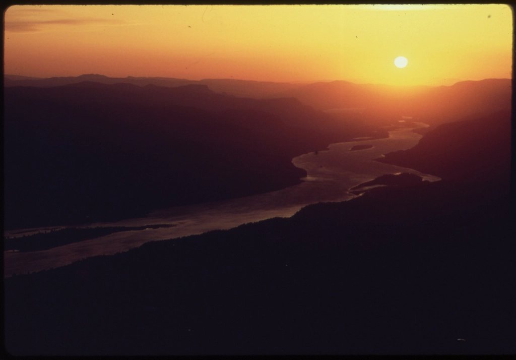
Most of the riding energy in the Tri-Cities flows south and east, toward the bridges and Columbia Park. The stretch north from Howard Amon Park to Leslie Groves Park is quieter, and we think it is the nicest few miles of paved riverside path in the region. It is short, shaded for long stretches, and it ends where the city ends and the Hanford Reach begins. We ride it as an evening loop, a recovery spin, and the one route we recommend to visitors with two hours and a rented bike.
Starting at Howard Amon Park
Howard Amon Park runs along the Columbia in the middle of Richland, between the Lee Boulevard area and the old downtown. It has the biggest trees in the Tri-Cities, a swimming beach, a fishing dock, restrooms, drinking fountains and a lot of lawn. Parking is in several paved lots along the park’s west edge, with room for a couple of hundred cars in total, and it fills on summer weekends and during festivals. The Riverfront Trail, the paved path that runs the length of the park, is the spine of this ride. Head north with the river on your right. The first mile is the busy one: joggers, families, dog walkers and people drifting out of the restaurants near the park’s north end. Ride at a walking pace here, and the trail opens up quickly.
North through the quiet stretch
Past the north end of Howard Amon the trail passes a marina, crosses a small inlet on a footbridge, and then runs along a residential shoreline where big cottonwoods and willows lean over the water. This is the section people forget: no traffic, a lot of shade, and the river broad and slow beside you. On a weekday evening you may pass a dozen people in two miles, most of them fishing from the bank or walking a dog. The path is paved, about eight feet wide, and gently rolling, with a total gain of well under 100 feet on the whole ride. About two miles from Howard Amon you reach the campus of WSU Tri-Cities on the left, with its wine science building and the newer halls up the slope. The trail follows the bank below the campus, and there are benches here that face straight up the river. Another mile and you enter Leslie Groves Park, the long, thin park that finishes the trail. It has lawns, a boat launch, a beach, restrooms, and a big paved lot at its north end that is rarely more than half full. The one-way distance from Howard Amon to the north end of Leslie Groves is about 3.5 miles; the round trip is 7 miles, and adding a loop through the Richland downtown streets on the way back makes it 9 or 10.
The Hanford Reach in the distance
Stand at the north end of Leslie Groves and look upriver. The far bank is low and empty, and the river ahead is the free-flowing Hanford Reach, the last undammed stretch of the Columbia in the United States above tidewater. It runs for about 50 miles from Priest Rapids Dam down to the slack water that begins near Richland, and the land on both sides is either the Hanford Site or the Hanford Reach National Monument. From the park you cannot ride into it; the trail ends, the road turns away from the river, and the site boundary is posted. But you can see it: the pale line of the White Bluffs on the far horizon in very clear air, the ridge of Rattlesnake Mountain to the west, and in the evening the river reflecting a sky that goes from orange to violet with nothing to interrupt it. This view is the reason we keep coming back.
A sunset ride
The Riverfront Trail faces east, so the sun sets behind the city and the river takes the color. Our favorite version of this ride leaves Howard Amon about 90 minutes before sunset, rolls north at an easy pace, sits at the Leslie Groves beach for a while, and comes back in the last light. The trail is lit in the park sections but dark between them, so bring a real front light and a rear one, not a blinking token. In summer the air off the water is 10 degrees cooler than the streets, and the cottonwood shade means you can ride this at six in the evening in July when Badger Mountain and the bridges are still baking. Geese, ospreys and the occasional beaver are regulars in the evening; a great horned owl calls from the campus trees most nights in spring.
Practical notes and hazards
This is the friendliest ride in the Tri-Cities, but it has the usual regional hazards. Afternoon temperatures pass 100 F in July and August, so ride mornings or evenings and carry water; the park fountains are on from spring to fall. Goatheads grow in the sunny gaps between the parks, especially near the campus, and we have flatted here more than once; run tubeless or carry a tube. Wind from the southwest is at your back going north and in your face coming home, which is fine in the shade and less fine on the open lawns of Leslie Groves. The trail is shared with a lot of walkers, and the marina and inlet crossings have blind corners; slow down, ring, and pass on the left. In winter the north-facing stretches hold frost until late morning, and the footbridge over the inlet is the first place to ice up. If you extend the ride, the streets of north Richland are wide, slow and mostly signed for bikes, and the George Washington Way path brings you back to Howard Amon without touching the main road for more than a block.
At a glance
- Distance: 7 miles round trip on the trail, 9 to 10 with the downtown loop.
- Elevation: under 100 feet, gently rolling.
- Surface: paved throughout; any bike, including a rental cruiser.
- Best hours: the 90 minutes before sunset, or early morning in summer.
- Best season: May to October; it is good in any calm month.
- Parking: paved lots at Howard Amon Park and at the north end of Leslie Groves Park.
North of Howard Amon the city thins out, the trees close in, and the Columbia gets a chance to look like the big western river it is. Ride it once at sunset and it will be on your list for good.