
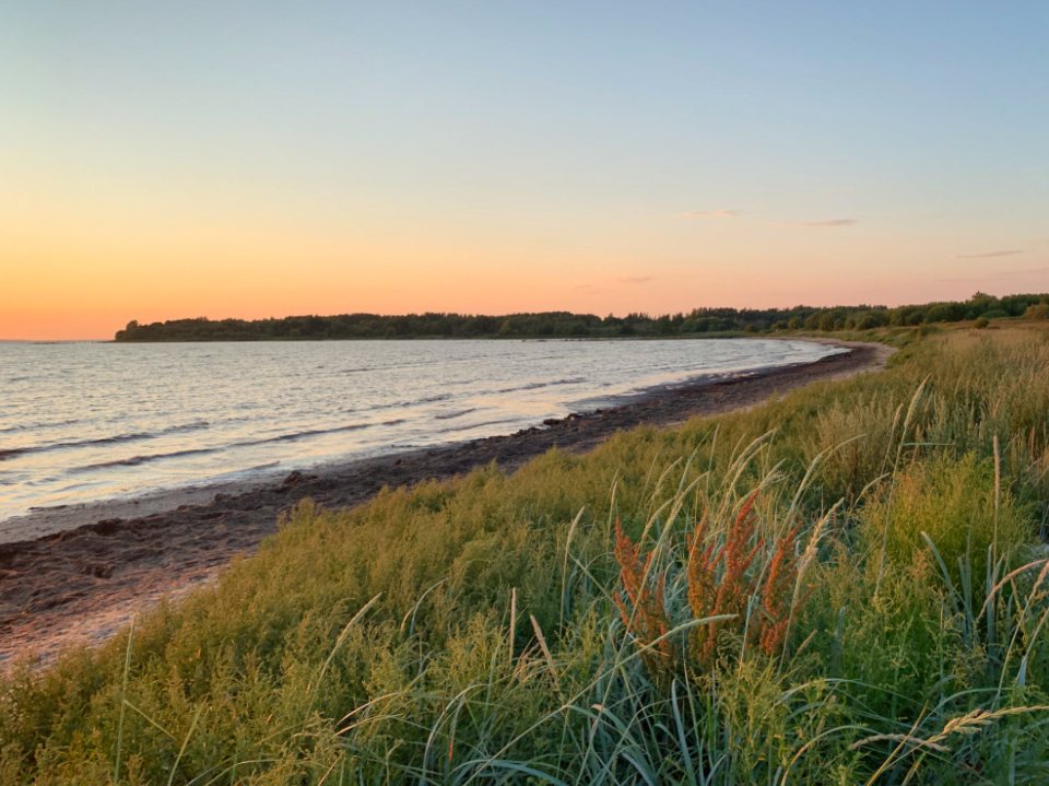
Not every good ride needs a summit or a long day. Bateman Island is a 160-acre island at the mouth of the Yakima River, on the Richland side of the Columbia, and you reach it by bike on a short causeway from the riverfront. In half an hour you can go from a traffic light to a stand of cottonwoods with a heron in it. We ride it as a lunch loop, a first ride for new club members, and a bird-watching lap in spring. This is what you need to know to do the same.
Getting to the causeway
The causeway leaves the south bank of the Columbia just east of where the Yakima River flows in, near Wye Park at the end of the road called Columbia Park Trail, between the Columbia Point area of Richland and the west end of Columbia Park in Kennewick. If you are on the Sacagawea Heritage Trail, watch for a gravel spur toward the river close to the Interstate 182 bridge. There is a small gravel lot with space for perhaps 15 cars, no restroom, and no water, so fill bottles before you come. From central Richland it is about four miles on the riverfront path; from the Kennewick side, it is about three miles west along Columbia Park from the Blue Bridge. The causeway itself is a rock and gravel embankment, roughly 300 yards long, wide enough for two bikes to pass. It sits only a few feet above the water, which matters later in this story. It was built in the 1930s, and there has been talk for years of opening or removing it to help salmon pass into the Yakima, so do not be surprised if the crossing changes one day.
The loop
Once on the island, the main trail is a dirt and sand road that circles the perimeter, with shortcuts through the middle. The full loop is about three miles with almost no elevation change; you gain and lose perhaps 20 feet the whole way. Surfaces vary a lot: hard packed dirt in the shade, soft sand on the sunny south side, and washboard where trucks once drove. Any bike with tires 35 mm or wider is comfortable. A road bike on 25 mm tires will make it around, but you will walk the sandy bits. Counter-clockwise puts the river on your right and saves the best view, the open Columbia toward the Blue Bridge, for the last mile. Allow 30 to 45 minutes at a relaxed pace, and longer if you carry binoculars, because you will stop. The interior shortcuts are narrower and more overgrown, with tree roots and a few sandy climbs of ten feet or so, and they are the best place to find shade at midday. There is no signage on the island, but it is small enough that you cannot really get lost: keep the water on one side and you will come back to the causeway.
The Yakima delta and its birds
The delta where the Yakima meets the Columbia is one of the richest bird habitats in the Tri-Cities. Great blue herons nest in the tall trees, and you will hear them before you see them. White pelicans loaf on the sandbars in summer, sometimes fifty at a time. Bald eagles hunt from the cottonwoods in winter, and ospreys take over in spring. The sloughs on the west side of the island hold wood ducks, teal, mergansers and coots, and in migration almost anything can turn up. On the shrub-steppe side, look for quail running under the sage, western meadowlarks on the fence posts, and northern harriers quartering low over the grass. Ride slowly, stop often, keep to the trail, and leave the nesting trees alone. Dogs are allowed on leash, and a leash matters here more than in most places.
Spring floods and changing plans
The Yakima runs high in April, May and early June when the Cascade snowpack melts, and the Columbia rises at the same time behind McNary Dam. In a big water year the causeway and the low west end of the island go under, sometimes for weeks. There is no gate and no warning sign until you arrive. Check the river gauge before you come, and if the causeway looks wet or the water is lapping the rock, turn around. Do not try to ride through: the current on the Yakima side is stronger than it looks and the rock is slick. After the water drops, the low trails are muddy for a while and the mosquitoes are serious, so we carry repellent in June. The island has also burned more than once in summer wildfires, and the trail can be rerouted or closed after a fire. Treat any closure sign as real.
Heat, goatheads and other small hazards
Summer afternoons here often pass 100 F, and although the island has more shade than Badger Mountain, the sunny south side is a cooker. Ride it in the morning or in the last hour of the day. Puncture vine grows thick along the causeway and on the sandy edges; run tubeless or bring a plug kit and expect to pull a few goatheads out of your tires. The Russian olive thickets have thorns that reach across the trail, so keep your eyes up. Ticks are active in spring; check your legs after you push through grass. Wind is less of a problem here than on the bridges, since the trees break it, but the causeway is fully exposed and a strong westerly can push a light rider toward the edge, so hold your line. And one more: the island is popular with anglers, dog walkers and families, so keep your speed to what you could stop from in a bike length.
Quick reference
- Distance: about 3 miles for the island loop, 8 to 12 miles as an out-and-back from central Richland or Kennewick.
- Elevation: flat, under 50 feet of gain.
- Surface: packed dirt, sand and gravel; 35 mm tires or wider.
- Best season: March, April and October; summer mornings and evenings only.
- Watch for: high water in spring, goatheads, mosquitoes in June, fire closures.
This is the ride we send people to when they say they do not have time for a real one. Ten miles round trip, a quiet island, birds you will not see from the road, and back before lunch. The whole thing is a reminder that the wild edge of the Tri-Cities is closer than it looks.